
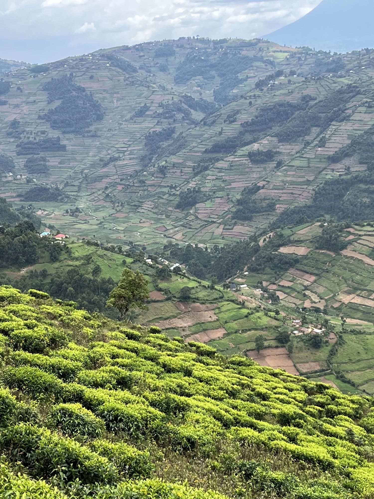
Floods that sweep away entire villages, landslides that swallow roads and fields, natural disasters are affecting more and more people worldwide, often because population growth forces them to live in high-risk areas. This is also true for the Kigezi Highlands in southwestern Uganda, where Violet Kanyiginya has spent the past few years studying the interaction between landscape, climate, and people.
For her PhD, Kanyiginya mapped more than 4,000 natural disasters in the Kigezi Highlands, an impressive inventory. She did not limit herself to numbers and satellite images, but also listened to the stories of local residents. Older inhabitants provided historical insights, while volunteers acted as geo-observers and river monitors, tracking changes in the landscape and water levels on a daily basis. “That citizen-centered approach was crucial”, Kanyiginya emphasizes. “People in the region are not passive victims, they have knowledge and experience that strengthen our research. Nature is powerful, but it is often human choices that determine how severe a disaster becomes. By better understanding how the landscape changes and how people respond, we can work together to find solutions.”
Her analysis shows that natural disasters have been part of life in the Kigezi Highlands for centuries. Landslides and flash floods were the most common. However, their impact has increased significantly in recent decades. The main reason: more people, more farmland, and major changes in land use. Where forests and grasslands once stood, there are now houses and fields, leaving the soil more vulnerable. “We see that human activities make the landscape more sensitive to disasters”, Kanyiginya explains. “That also means that better land management choices can make a big difference.”
The insights from Kanyiginya’s doctoral research are not merely academic. They provide crucial data for local and national policymakers to improve land management and disaster prevention, from identifying safe building zones to protecting forests, and involving communities in early warning systems. “I hope my work can contribute to a future in which communities in high-risk areas are better prepared and protected”, Kanyiginya concludes.
More information:
Violet Kanyiginya:
Kanyiginya studied land use and water management in Uganda, Tanzania, and Botswana. In 2019, she received a scholarship for a PhD at the Vrije Universiteit Brussel (VUB), in collaboration with the Royal Museum for Central Africa and Mbarara University. She has published nine scientific articles and presented her work at fifteen international conferences.
Prof. Matthieu Kervyn (supervisor): Matthieu.Kervyn.De.Meerendre@vub.be