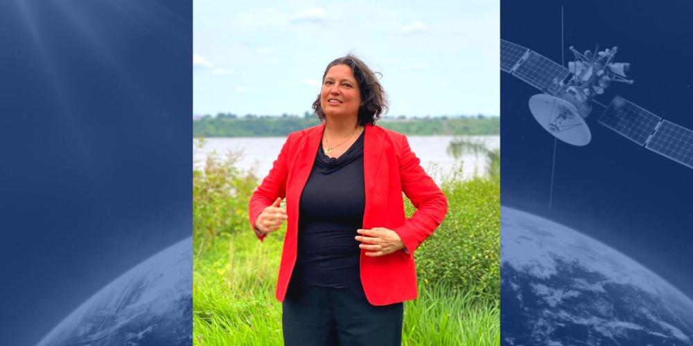
Dirk Frimout, the first Belgian to orbit the Earth – in the shuttle Atlantis, which departed 30 years ago – described in lyrical terms how beautiful our planet looked from space during his legendary telephone conversation with the then Prince Philippe. He could not have suspected that Earth could be pictured today in such high resolution. Many scientists harness this capability. One of them is Ann van Griensven, professor of hydrology at VUB: “Space travel and especially satellites have sharpened our image of the Earth,” she says. On World Water Day, we can be very pleased about that.
Her expertise and research demonstrates that both a global and a detailed picture of our planet are essential. “We get a lot of information about vegetation, soil moisture and evapotranspiration, and can use satellite images to monitor large areas of water, including lakes and rivers. We use imagery from the visual spectrum as well as infrared and ultraviolet images,” says van Griensven. “We use all the data we collect from satellites to make models, which vary locally due to great variability in the Earth’s surface.”
"We get a lot of information about vegetation and soil moisture and can use satellite images to monitor large areas of water, including lakes and rivers." - Professor Ann Van Griensven
Anticipating food shortages
These models allow scientists to make projections on impacts of climate change, such as droughts and their consequences for agriculture and the local population and water supplies... Much of this data is vital, especially in areas where monitoring on the ground is not elaborated, such as in areas of the African continent. The data is of course also used for research on a Belgian or even a hyper-local scale. To this end, the data, which comes mainly from the European Space Agency (ESA), is supplemented by information from a network of local measurement points. The resolution of the satellite images is also greatly improved by matching them with aerial images from aircraft or drones. Van Griensven: “The higher the resolution, the better. At the same time, the larger the scale, the more useful the data can be for mapping spatial variability. In general, you can say that what is out of focus today will soon become sharp.”
Van Griensven’s research and her models are invaluable in those areas where measurements are scarce. It allows governments to anticipate future food shortages or prolonged droughts, to make predictions about where flooding might occur during heavy rainfall, or to improve water quality. “In the Netherlands, hydrological models are even used to set up a compensation scheme for farmers,” van Griensven says. “So they also have a clear economic added value.”
European battle against climate change
The hydrological models made at VUB are also important in the fight against climate change. Most of the phenomena associated with global warming have a link with water, to the extent that it is already assumed that water will become the next area of struggle between countries facing drought. Water also has a cooling effect, which is an interesting property when there is global warming. Van Griensven: “We can observe this cooling effect if we look at areas that are irrigated and where the average temperatures are generally much lower than in non-irrigated areas. In this way, we can map water use in agriculture. Hydrological models can help us choose which crops to grow and which to leave out. Some crops need much more water than others and we can use space imagery to calculate how much water is available at a particular location. We also look at the advancing deforestation and its consequences on the water tables. We see, for example, that intact Congolese forest areas have an enormous impact on the local water balance and the local groundwater tables.”
The hydrological models made at VUB are also important in the fight against climate change.
In a European context, within the Horizon 2020 programme, van Griensven is working on the Water Scenarios For Copernicus Exploitation project, a project that combines ESA’s hydrological data with in-situ measurements, using that data to map land water management in Europe in detail and develop scenarios in case of climate change. The ESA is responsible for developing the space component, while the European Environment Agency develops the in-situ data.
Space and its derivatives are, clearly, crucial for current and future water policy on our planet. On World Water Day, this importance, as well as our image of the Earth, is put into sharp focus.
On the occasion of the 30th anniversary of Dirk Frimout's space journey (March 1992) and the 20th anniversary of Frank De Winne's space journey (October 2002), VUB and ULB welcome an international space delegation in October 2022. In collaboration with Belgian Space Week, we invite students from the third grade of secondary school to an inspiring programme about space.